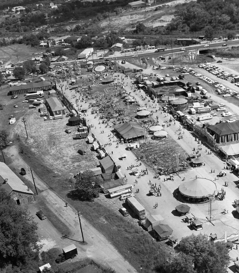
Aerial Views
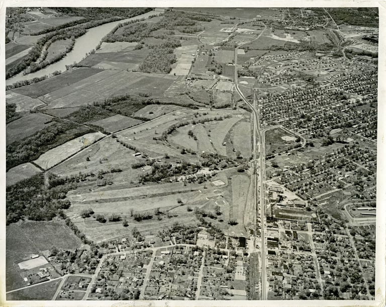

This large aerial photograph shows original housing in the Old Hickory community. A major road, now Old Hickory Boulevard, can be seen running top to bottom. - Old Hickory, Davidson County, Tennessee
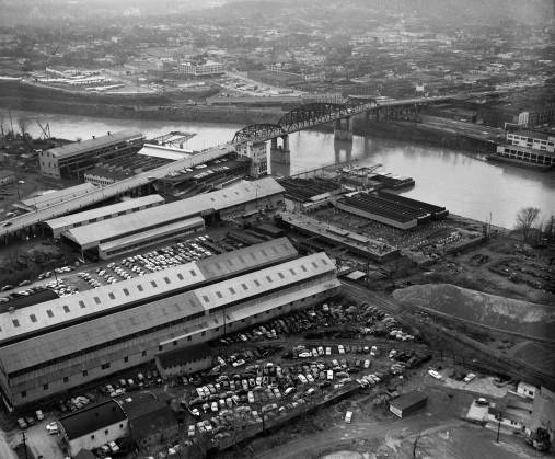

An aerial view photograph of the Nashville Bridge Company with the Shelby Street Bridge & downtown Nashville, Tennessee, in the background. - January 19, 1960. The company fabricated steel for several Nashville landmarks including the Arcade, Nashville Trust Building & the Hermitage Hotel as well as bridge construction, barges, towboats, & bridge overpasses.


An aerial view photo of the Tennessee State Fairgrounds, Nashville, April 23, 1958. The fairgrounds opened in 1891 as Cumberland Park. The park was originally built as a harness racing (horse racing that uses a 2 wheeled cart) track with a grandstand that seated 7,000 people. . (View 2)

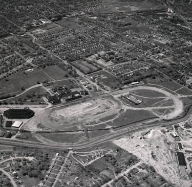
An aerial view photo of the Tennessee State Fairgrounds, located approx. one mile south of downtown Nashville, - April 23rd, 1958. (View 1)


An aerial view photo of the Tennessee State Fairgrounds, Nashville, April 23, 1958. Over the years, the fairgrounds have been host to nighttime airplane rides, a swimming pool, an amusement park, stock car races, & trade shows as well as the annual Tennessee State Fair. (View 3)
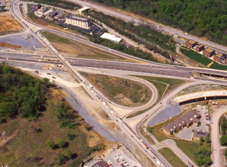

This is an aerial view photograph of the Old Hickory Boulevard Exit off of I-65. The intersection was under construction at the time. - Nashville, April 19, 1988.
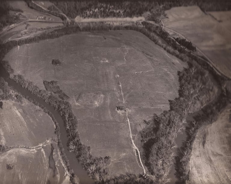

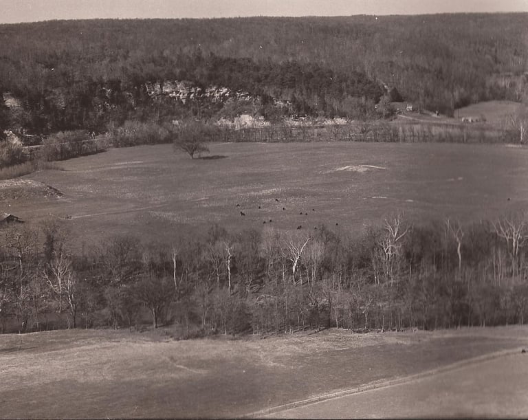

This is an aerial view photograph that shows the Harpeth River in Cheatham County, Tennessee in the 1960's.
This is an aerial view photograph of the Harpeth River & Mound Bottom in the 1960's. Mound Bottom is a large 1,000 year-old Mississippian Period Native American town & ceremonial site located on the Harpeth River in Cheatham County, Tennessee.
